We enjoy breakfast with the MacKinnon family with a little surprise. The reporter from the weekly Deloraine newspaper is there to interview me. I tell her all about Pearson College and the UWC mission. I will be curious to see how the article turns out. Always worth the effort to get some publicity in small towns as a way to encourage prospective students to apply. We do a posed shot with the two Pearson Scholars, Hannah and Laughlin.

I get on the road at a reasonable hour, about 9:30 am, but the temperature is already reaching 30 degrees Celsius and ten degrees more with the humidity index. I do a ride through the town of Deloraine, which has a flag for every country in the world and an enormous collection of bird houses for Purple Martins, both in the centre of town.
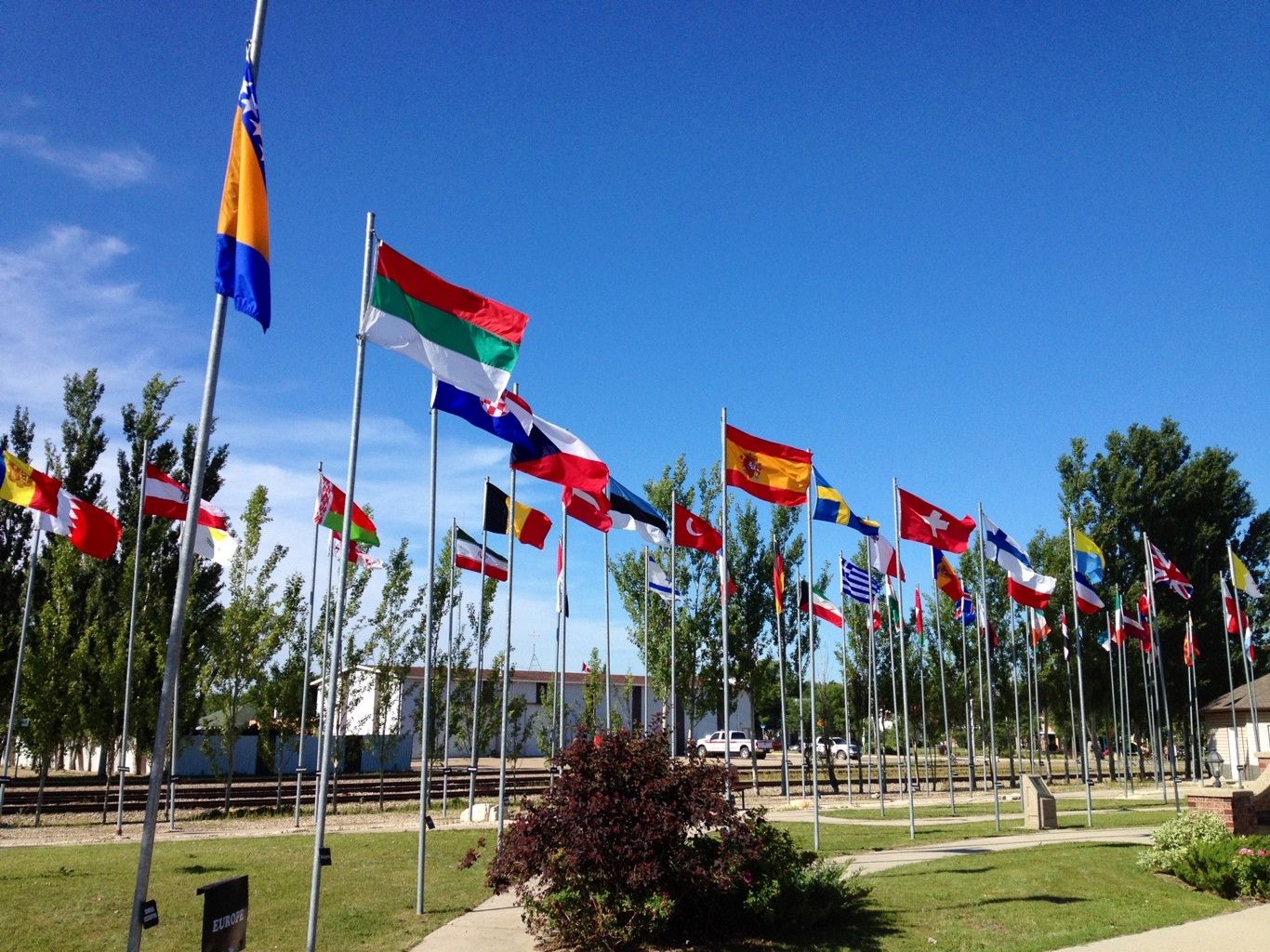
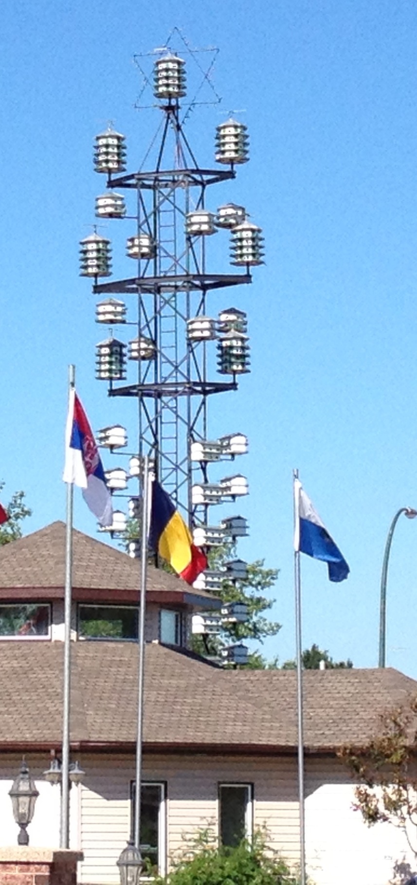
Both quite impressive for a town of about 1,000 people.
I get out onto Route 3 East and sadly get a hot east southeast wind. To make matters worse, when I shift south on Route 10 heading for the USA border, the wind shifts too, coming more from the south. So with head down, I keep hydrated and mash the pedals as the wind mashes me.
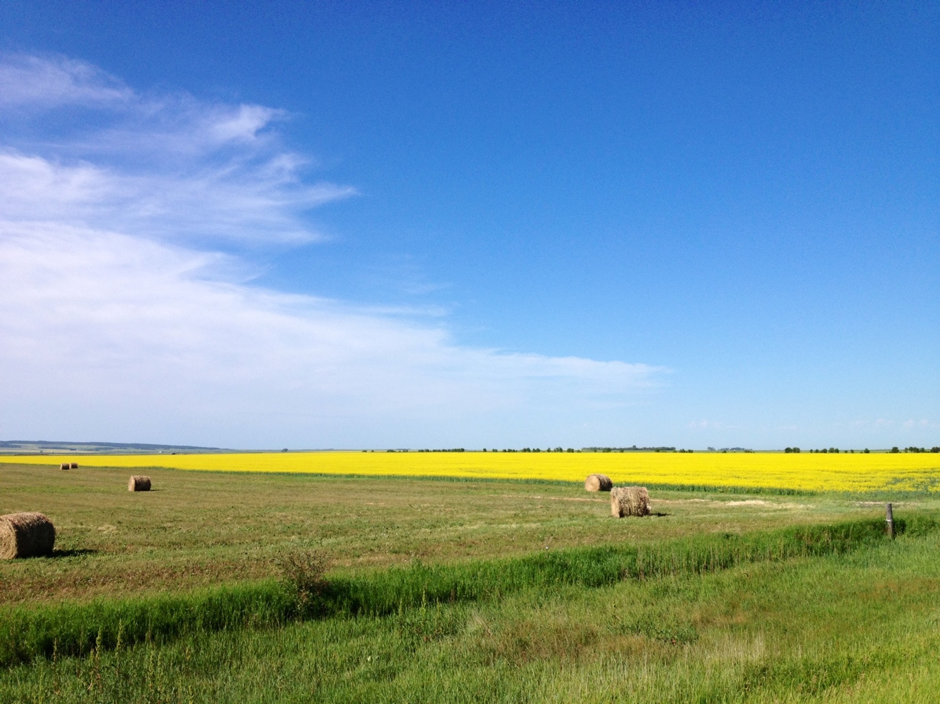
I get to see the first signs of what is making millionaires of many farmers in this part of Manitoba. Oil wells. The new ways of drilling horizontally is a huge boom. But it is non renewable and may have a short life.

These oil rigs coexist with the growing of crops for another kind of oil. Canola oil.
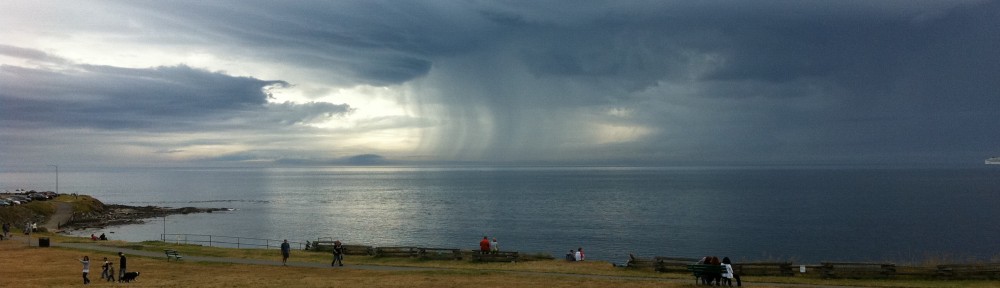
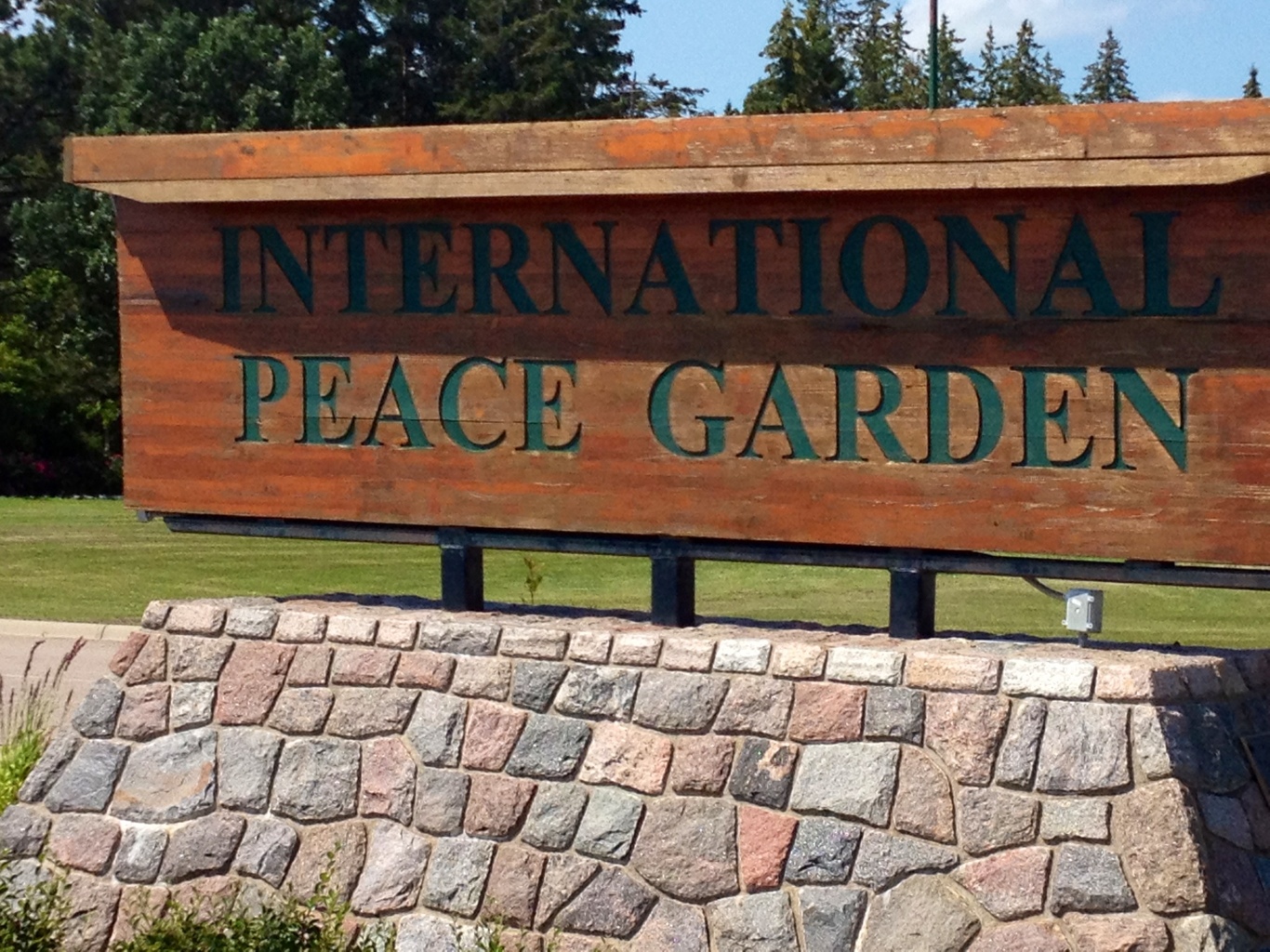
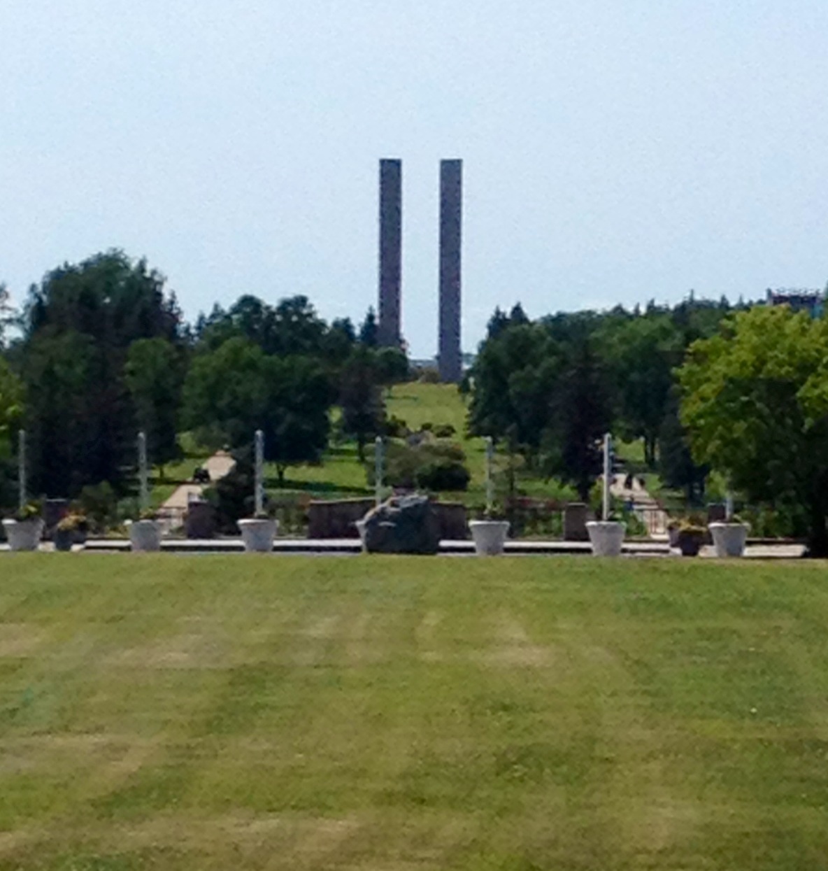
We make it to the USA – Canada border about mid-day and have a long picnic lunch waiting out the heat of the day and enjoying the International Peace Garden, which straddles the border.
The park includes a tall peace tower straddling the border. It has four columns to represent people from coming from the four corners of the world to form two similar but distinct nations, Canada and the US, with a common base of democracy.
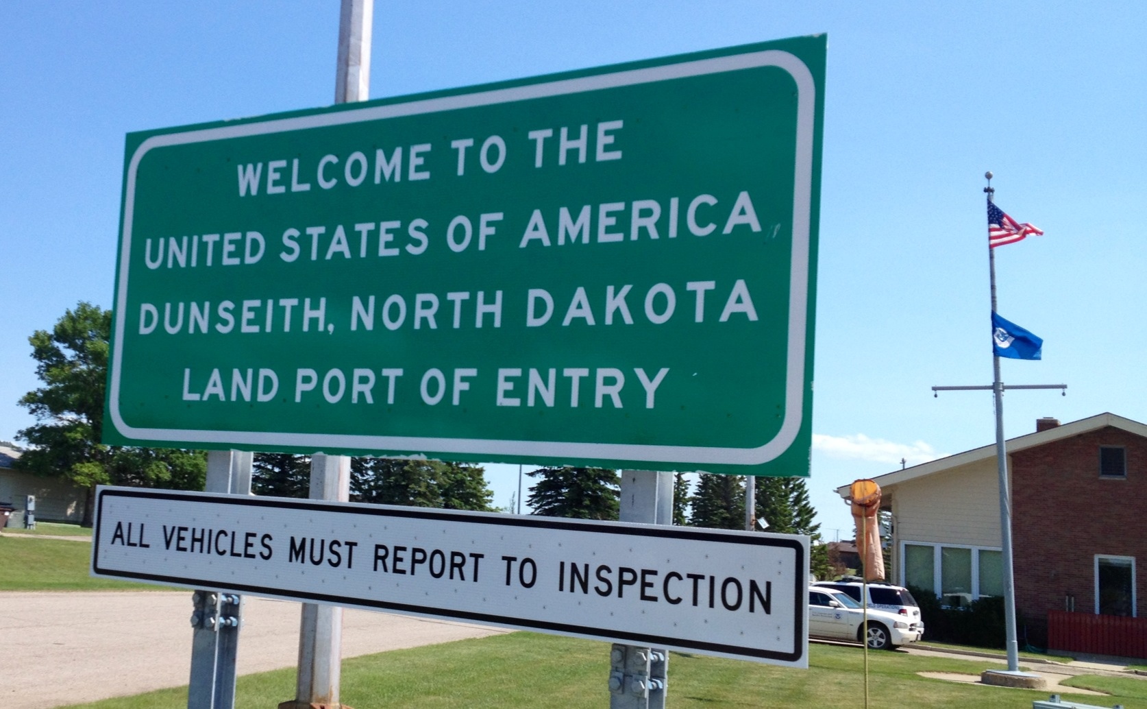
It gets a bit confusing upon entering the US forgetting at times things are measured in miles and not kilometers. They seem so much longer. The ride of 46 miles to the first large town of Rugby North Dakota seems to take forever.
On the way, I pass an impressive wind farm. Compared to human scale, each tower and turbine is massive.

And they are whisper quiet, which you can get a sense of from this video.
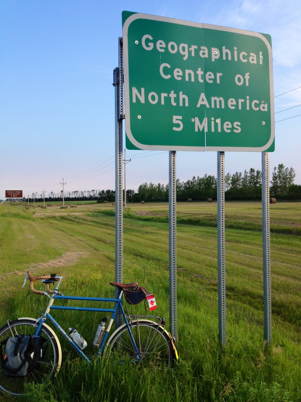
I make it to the town of Rugby totally windblown myself having faced a modest but hot and dry headwind for most of the day. Rugby makes the claim to be the geographical center of North America.
Stats – for Tuesday 3 June 2012
Start: Deloraine, Manitoba, Canada
Finish: Rugby, North Dakota, USA
Distance: 131 km
Time on Bike: 6 hrs 51 min
Average Speed: 19.1 km/hr
Distance to Date: 3,662 km

Hi there! Quick question that’s entirely off topic.
Do you know how to make your site mobile friendly? My
website looks weird when browsing from my iphone 4.
I’m trying to find a theme or plugin that might be able to resolve
this issue. If you have any recommendations, please share.
Thank you!
Good post. I study one thing tougher on completely different blogs everyday. It’ll all the time be stimulating to read content material from other writers and practice a little bit one thing from their store. I’d choose to use some with the content material on my blog whether or not you don’t mind. Natually I’ll provide you with a hyperlink on your internet blog. Thanks for sharing.
love all the geographical centres of the ___ signs!
It was great to see you both! What a fun coincidence – hopefully I will also catch you in either Ottawa or Montreal and see how the last couple of thousand of KM have treated you!
Best,
Hannah (Yr. 27)