Grand Grand Forks

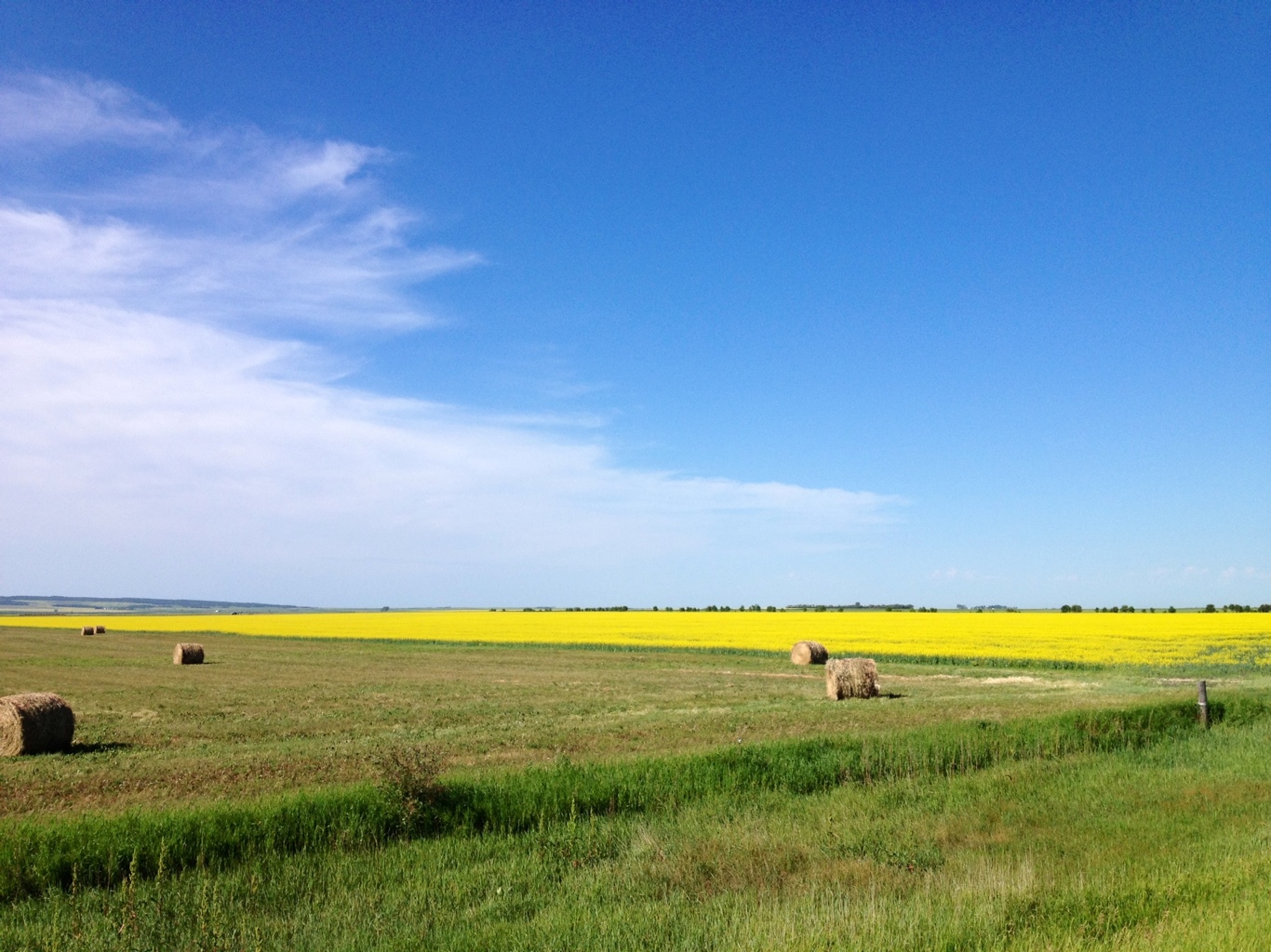
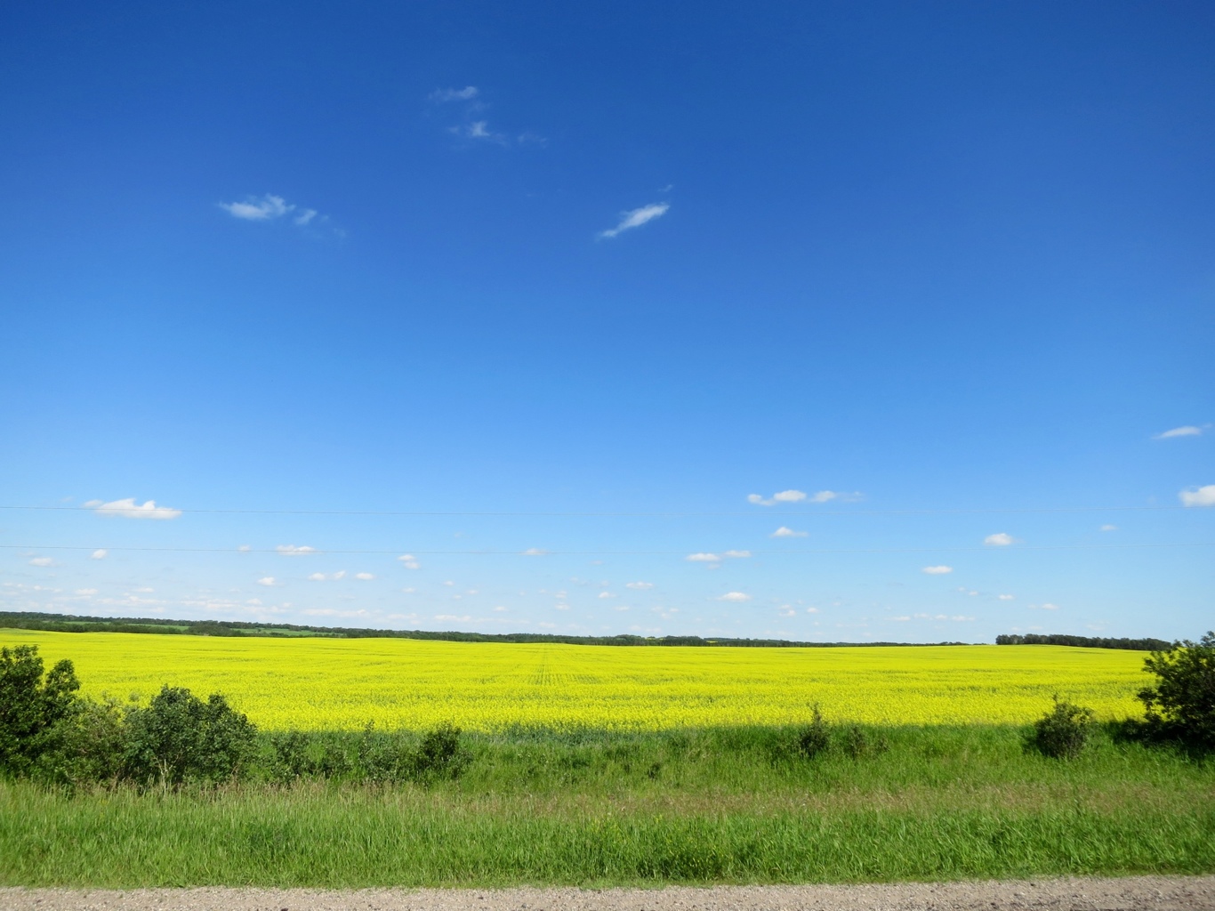
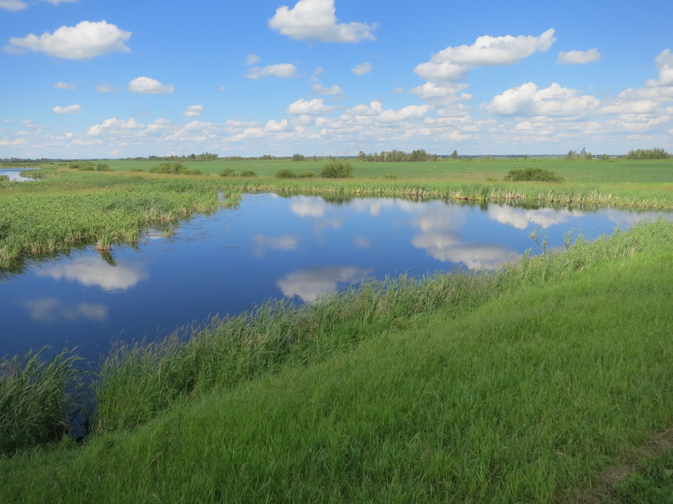
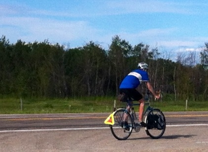
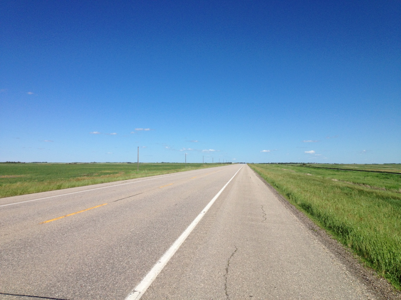
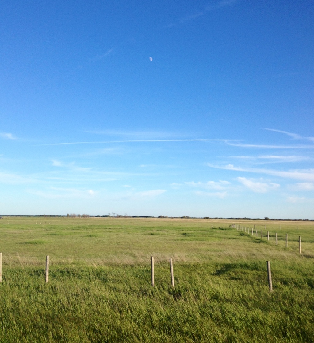
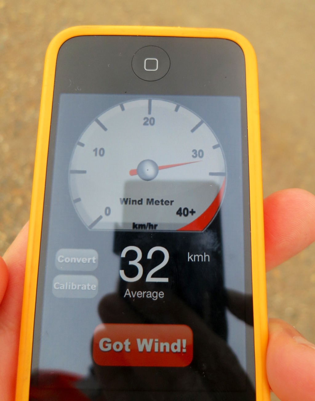
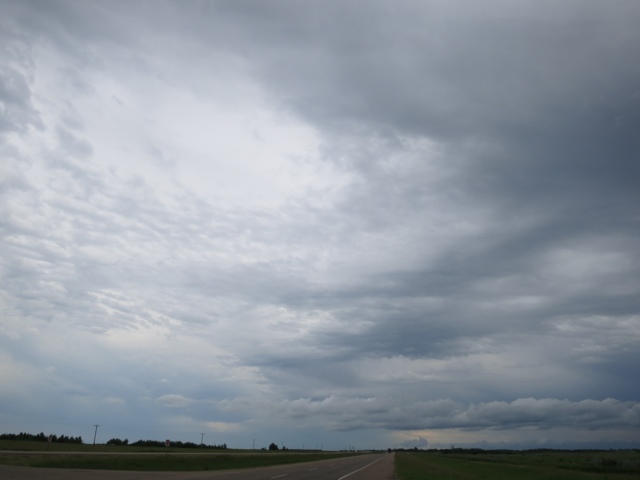
A hot and fast run today from Lakota to Grand Forks, North Dakota. While it was blistering hot, the wind was strong and at my back so it was a quick ride of 120 km on the ample and mostly smooth road shoulder of Route 2 to the city that is home to the University of North Dakota.

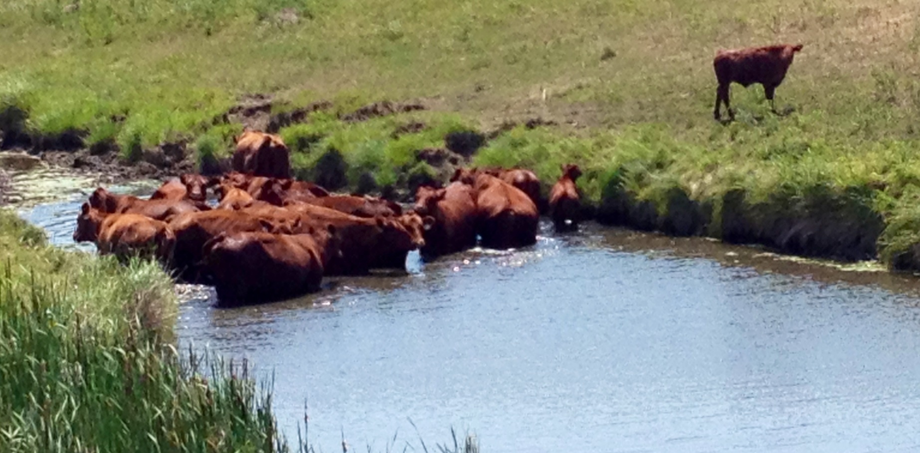
On my way I see cattle doing what they can to stay cool in the midday sun.

20120706-233033.jpg

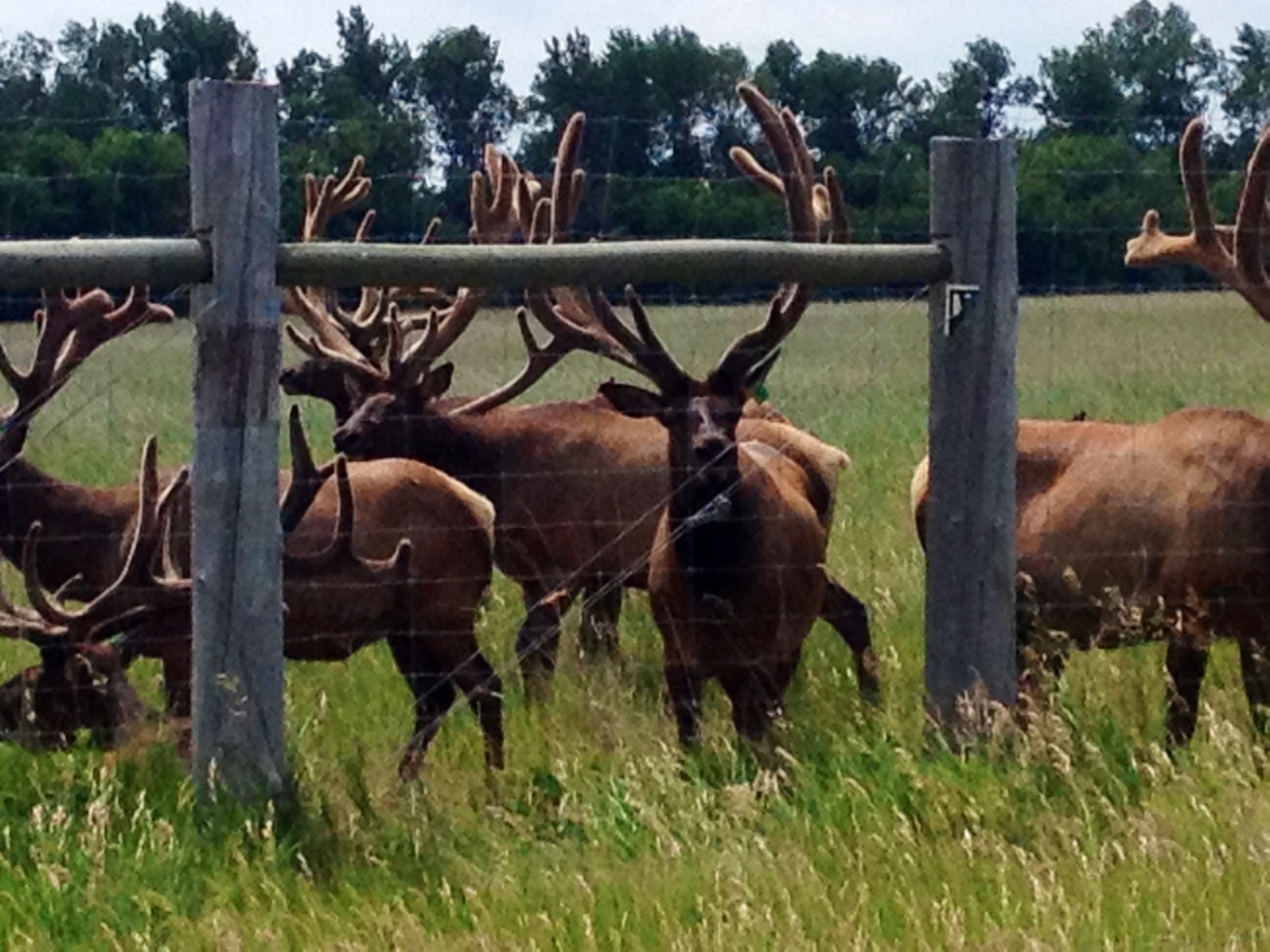
I also spot a family of raccoons about to cross the highway so I double back and shoo them back where they came from.

20120706-233429.jpg

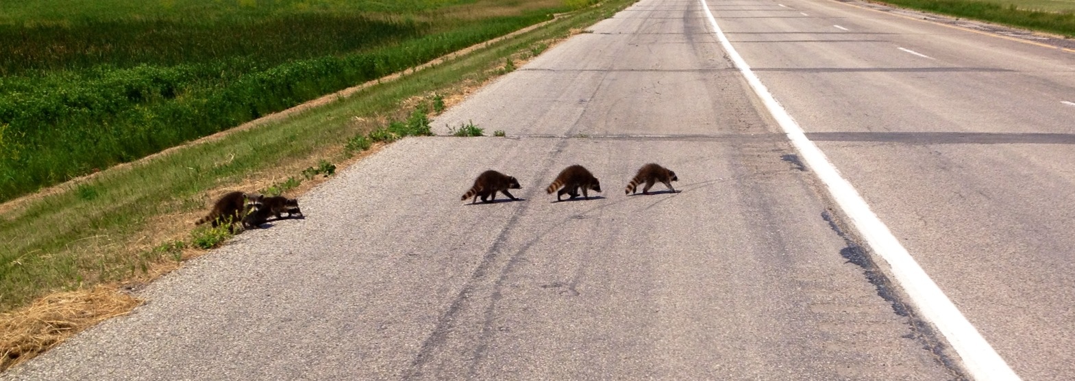
One of them is reluctant and takes a bit of convincing.

20120706-233529.jpg

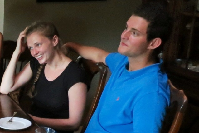
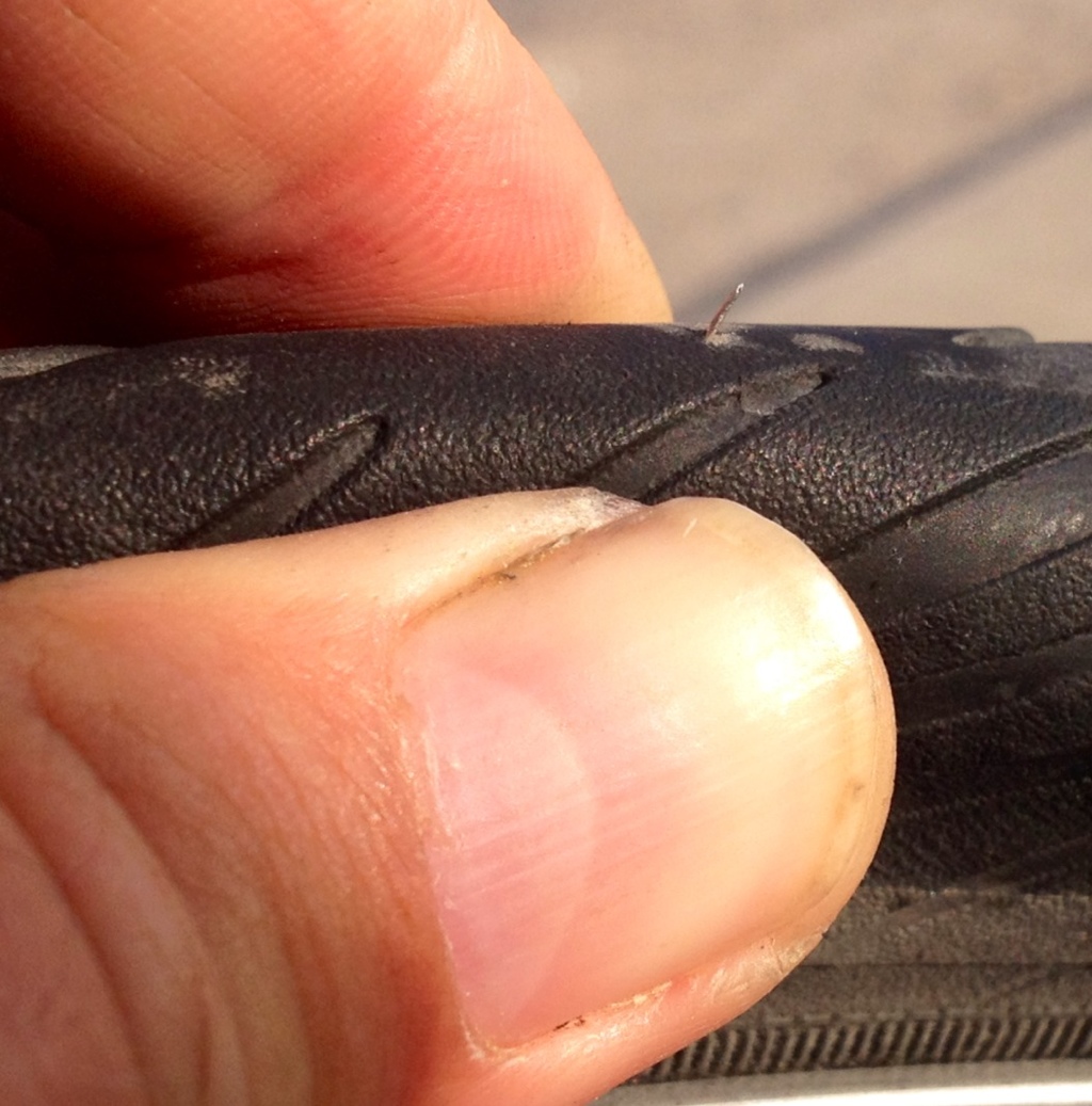
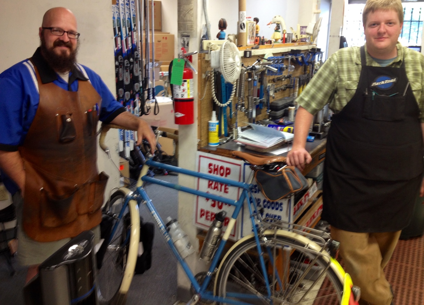
It has been nearly 2,500 km since I checked the stretch of my chain so I make my way to the Ski and Bike Shop in Grand Forks. Turns out it was 100% of the maximum stretch. The staff at Ski and Bike were terrific and Erik quickly replaced the chain, took off the cheap oil the new one was coated with and lubricated it with Boeshield T-9, the same lubricant I have been using. It was great to chat with people really into bikes. Check out the leather apron on the other mechanic, Dave.

20120706-234914.jpg

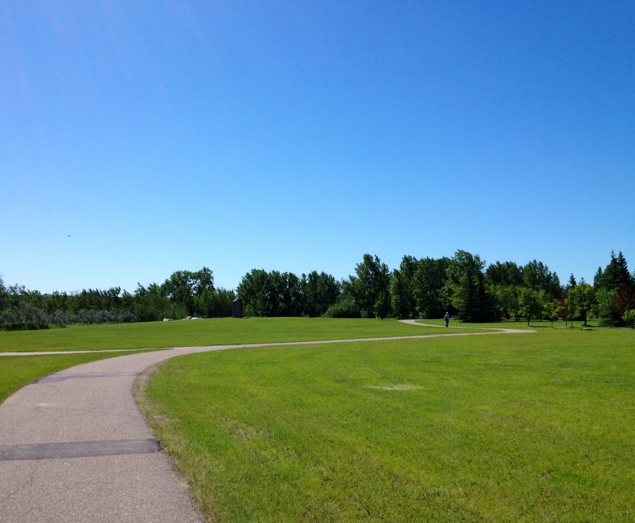
Found an okay meal at the Blue Moose Restaurant, one of dozens of restaurants that are now part of the revitalized riverbank section of Grand Forks following the massive river flooding in 1997. Several streets had been literally washed away and the city smartly turned them into a park rather than allow for reconstruction.

Stats – for Thursday 5 July 2012

Start: Lakota, North Dakota
Finish: Grand Forks, North Dakota
Distance: 120 km
Time on Bike: 4 hrs 47 min
Average Speed: 25.1 km/ hr
Distance to Date: 3,922 km

Independence Day Ride

Want to ride with me through North Dakota as the sun sets on US Independence Day 2012? No fireworks just a video from my handlebars. Click on the video above. Nerdy narrator included.

The ride from Rugby to Lakota, North Dakota on Route 2 is smooth, wind-enhanced, sunny and hot. The landscape is gently rolling with lakes and ponds mixed in with the fields of wheat and corn.

20120705-221240.jpg

Leisa joins me for picnic lunches and can capture scenes when I not paying attention or, in this case, when I am fast asleep in the heat of the day.

20120705-221905.jpg

Along the road I encounter some fenced in animals I never thought were kept in captivity.

20120705-222908.jpg

When we get to Lakota, I ask where the fireworks will be. I am told that people buy their own around here. That’s independence.

20120705-223356.jpg

Stats – for Wednesday 4 July 2012

Start: Rugby, ND
Finish: Lakota, ND
Distance: 140 km
Time on Bike: 5 hrs 26 min
Average Speed: 25.7 km/hr
Distance to Date: 3,802 km

Crossing the 49th Parallel

We enjoy breakfast with the MacKinnon family with a little surprise. The reporter from the weekly Deloraine newspaper is there to interview me. I tell her all about Pearson College and the UWC mission. I will be curious to see how the article turns out. Always worth the effort to get some publicity in small towns as a way to encourage prospective students to apply. We do a posed shot with the two Pearson Scholars, Hannah and Laughlin.

20120704-232747.jpg

I get on the road at a reasonable hour, about 9:30 am, but the temperature is already reaching 30 degrees Celsius and ten degrees more with the humidity index. I do a ride through the town of Deloraine, which has a flag for every country in the world and an enormous collection of bird houses for Purple Martins, both in the centre of town.

20120704-233356.jpg

20120704-233421.jpg

Both quite impressive for a town of about 1,000 people.

I get out onto Route 3 East and sadly get a hot east southeast wind. To make matters worse, when I shift south on Route 10 heading for the USA border, the wind shifts too, coming more from the south. So with head down, I keep hydrated and mash the pedals as the wind mashes me.

I get to see the first signs of what is making millionaires of many farmers in this part of Manitoba. Oil wells. The new ways of drilling horizontally is a huge boom. But it is non renewable and may have a short life.

20120704-234303.jpg

These oil rigs coexist with the growing of crops for another kind of oil. Canola oil.

20120704-234413.jpg

We make it to the USA – Canada border about mid-day and have a long picnic lunch waiting out the heat of the day and enjoying the International Peace Garden, which straddles the border.

20120704-234711.jpg

The park includes a tall peace tower straddling the border. It has four columns to represent people from coming from the four corners of the world to form two similar but distinct nations, Canada and the US, with a common base of democracy.

20120704-235117.jpg

20120704-235309.jpg

It gets a bit confusing upon entering the US forgetting at times things are measured in miles and not kilometers. They seem so much longer. The ride of 46 miles to the first large town of Rugby North Dakota seems to take forever.

On the way, I pass an impressive wind farm. Compared to human scale, each tower and turbine is massive.

20120705-003250.jpg

And they are whisper quiet, which you can get a sense of from this video.

I make it to the town of Rugby totally windblown myself having faced a modest but hot and dry headwind for most of the day. Rugby makes the claim to be the geographical center of North America.

20120705-003914.jpg

Stats – for Tuesday 3 June 2012

Start: Deloraine, Manitoba, Canada
Finish: Rugby, North Dakota, USA
Distance: 131 km
Time on Bike: 6 hrs 51 min
Average Speed: 19.1 km/hr
Distance to Date: 3,662 km

Due South

We have to sit out most of the morning in Virden as heavy thunderstorms come through. They are strong enough to cause power outages in our hotel.

I finally get on the road, again approaching noon, and for the first time ride on Highway 1, the Trans Canada. This is the infamous stretch where two cross country cyclists were killed and two of their children injured in 2008. The accident area is marked with a bicycle painted white. More importantly, the road has been drastically improved with wide shoulders and a rumble strip. There were no paved shoulders when the accident occurred. I couldn’t bring myself to photograph the bicycle shrine on the side of the road. Instead I pedaled carefully and purposefully to Griswald where I take the much smaller, Route 21, south to Deloraine.

There is evidence everywhere of road damage from the heavy spring rains. It actually works to my advantage as trucks are prohibited until all the repairs are done. The water is nearly breaching the road in many places.

20120703-234013.jpg

After Griswald, I head south and curiously face a strong southerly headwind. Not a great addition to a hot and humid day. The people of Griswald have a sense of humour and have constructed a mini grain elevator and a jail next to it.

20120703-234457.jpg

20120703-234517.jpg

I put my head down avoiding the sun and the wind until I can find shade for a late lunch break. We find one farm with a shady front lawn and ask permission to have a picnic. Permission granted. Just before we leave, a member of the family comes out to offer us a
popsicle freeze.

20120703-235131.jpg

Turns out that although we are over 40 km from Deloraine this woman knows the Pearson College alumni family we will be visiting there. All farm families seem connected in a wide geographical area here.

There are very few gluten free landscapes here in Manitoba.

20120703-235953.jpg

By early evening, out of water, I make it to the town of Deloraine.

20120704-000246.jpg

Even though it is a town of just 1,000 people, it has sent a handful of students to Pearson College, Including
Hanna MacKinnon, Pearson College, Year 27 and her brother, Laughlin, Pearson College Year 38.

20120704-000749.jpg

After a long day on the road, we enjoy a wonderful meal with the family.

20120704-000938.jpg

Stats – for Monday 2 July 2012

Start: Virden
Finish: Deloraine
Distance: 112 km
Time on Bike: 4 hrs 56 min
Average Speed: 22.7 km/ hr
Distance to Date: 3,531 km

Canada Day – Land Glorious

20120703-224520.jpg

We start off Canada Day not knowing the correct time. We did not realize that Manitoba is one hour ahead of Saskatchewan so we slept in. The Jackson family prepared a breakfast fit for life and work on a farm so I was all fueled up and ready to get on the road on the hottest day so far. The humidity index is 40 degrees plus.

The town of Inglis is known for a few things. It is the only town in North America to have four original and preserved grain elevators.

20120703-224727.jpg

And it is the barley capital of Canada.

20120703-225110.jpg

I head south all day on route 83 aiming for the Trans Canada Highway and the town of Virden. While traffic is light, the wind is often veering into a headwind and the heat, over 30 degrees Celsius, and humidity add to the challenge. I need to learn quickly how to stay hydrated properly after nearly one month of temperatures hardly into double digits.

The two towns that are part of my morning ride, Inglis and Russell, both have curious signs posted about town. They announce that all planned Canada Day celebrations have been cancelled. It turns out that with people going off to the lakes in these parts of Manitoba it is hard to find enough volunteers to put on these celebrations.

Russell has a collection of arches that were built in the town for a company in another town. When this company was closing shop and about to demolish its property and the arch supports of its buildings along with it, the town of Russell mobilized to save the arches and they are now the town’s main attraction.

20120703-225926.jpg

I have a sense that the way Canada celebrates Canada Day is different from the way the Fourth of July is celebrated in the United States. It turns out that I will soon be able to compare as I will tuck into the USA to make my way east following a route south of Lake Superior and will be below the 49th parallel starting 3 July.

I start a celebration made up of a one person bicycle parade with two Canadian flags sticking out of my saddle bag.

20120703-230215.jpg

I also decide to celebrate by not pushing too hard in the heat and humidity and get shuttled to Virden due south after completing a 91 km day and seeing about 91 km of Canada’s current highest price-yielding plant, canola, in various stages of bloom.

20120703-230759.jpg

Stats – for Sunday 1 July 2012 – Canada Day

Start: Inglis
Finish: Virden
Distance: 91 km (of 140 km)
Time on Bike: 4 hrs 36 min
Average Speed: 19.8 km/hr
Distance to Date: 3,419 km

Into Manitoba

We do a complete clean of bike, gear and clothing, taking advantage of being in a fairly large city. I stock up on two new bicycle tubes just in case and a new chain.

Once again, on the road near noontime. The temperatures are now reaching into the upper twenties so this is not an ideal time to start as much as I like slow mornings and cycling into the early evening.

I take the less traveled Route 10 into Manitoba avoiding the Yellowhead knowing that no roads in Manitoba have paved shoulders so I might as well head to one that is lightly traveled. The only place I can find for shade in the first 50 km is underneath a road sand and salt loading tower.

20120701-235014.jpg

As we were warned, as soon as I cross into Manitoba, the roads deteriorate in quality and the road shoulders effectively disappears as they are unrideable. The paved road often drops precipitously into a soft shoulder. The roads themselves are full of unfilled cracks and potholes and well faded lines. I understand why cyclists avoid Manitoba. The one thing that made it manageable was the lack of traffic. With the long Canada Day weekend, hardly anyone was on the road and no truck traffic. There is one big downhill, I think in all of Saskatchewan, right before the border.

20120702-000128.jpg

20120701-235227.jpg

Here is a shot of the awful roads of Manitoba. Note the faded centre lines, the nonexistent white line marking the edge of the road and the sudden slope into a soft shoulder.

20120702-000507.jpg

The has been lots of rain in Manitoba too, ideal for roadside marshland.

20120702-092510.jpg

As it is Canada Day weekend, I arrive in the very sleepy town of Roblin to join Leisa for a late picnic lunch near yet another Ukrainian church, this one well cared for.

20120702-095413.jpg

20120702-095437.jpg

We are taking this curious route through Manitoba because there are three Pearson College alumni families in and around Roblin and Inglis, the Jacksons (Fawn, Pearson College Year 31) the Skinners (Sarah, Pearson College, Year 33) and the Wendells (Jeremy, Pearson College Year 17). The alumni are not home but the Jackson family has graciously offered to host us for an evening and Sarah’s father, John Skinner, is able to join us. We see signs of all families as we get closer to Inglis. Sarah’s grandfather started an arboretum in the area.

20120702-100322.jpg

The Wendell family run a x-country and uphill, yes, you read that correctly, area called Rivindell.

20120702-100646.jpg

The Jacksons run a seed and Charolais cattle farm (I neglected to take a photo of the sign to the farm). We enjoy a wonderful conversation and filling meal with the Jackson family.

20120702-101317.jpg

Stats – for Saturday 30 June 2012

Start: Yorkton, Saskatchewan
Finish: Inglis, Manitoba
Distance: 116 km
Time on Bike: 4 hrs 52 min
Average Speed: 23.8 km/hr
Distance to Date: 3,328 km

Sloughs Unlimited

20120701-223747.jpg

Another glorious day for a bike ride. The day began with a big slow breakfast and a little tour of the town of Wynyard whose large chicken processing plant appears to be keeping the town economically afloat. Did not hit the road well after noon.

It is a flat run between Wynyard and Yorkton. I get the benefit most of the day of a gentle tailwind. Here is an effort by Leisa to get a photo of me on the road. The careful observer will note the one part of my body that is getting sunburned. My right calf.

20120701-225005.jpg

All along this stretch of road, there is a big effort to maintain the natural roadside sloughs, where water can collect, marshland can be maintained and waterfowl can breed. Many farmers instead flatten their fields right up to the road edge destroying this habitat and only ever so slightly increasing their growing acreage. In seasons like this one, where 11 inches of rain has already fallen compared to the average full year rainfall of 8-10 inches, those who flattened their fields have suffered the most because they no longer have the marshland to absorb the extra water. Those that have left them natural also make the landscape look beautiful.

20120701-225701.jpg

20120701-232625.jpg

The town of Foam Lake has a motto that reads “the best place on earth to live.” Apparently there was a survey done that proves it. In any case, it, like Wynyard, is very much connected to all the conservation efforts associated with the birds of Quill Lake.

The visitor centre has direction and distance signs to a variety of cities so I get permission to add the town where this journey began.

20120701-225927.jpg

I make it to the town of Theodore, which has preserved its grain elevator. Shortly thereafter, I cycle over what must be a bed of razor sharp staples as I get a double puncture, all the way through the thick rubber, carbon and Kevlar tire bead.

20120701-230346.jpg

20120701-230540.jpg

I decide to take advantage of my sag wagon and hitch a ride to Yorkton and do the repairs in a hotel room after dinner at a Japanese restaurant and ice cream at Yorkton’s famous hard ice cream shoppe. Yorkton makes the audacious claim to have more restaurants per capita than any other city in Canada. I am not convinced.

We get to enjoy our last sunset in Saskatchewan the night before we head into Manitoba.

20120701-232947.jpg

Stats – for Friday 29 June 2012

Start: Wynyard
Finish: Yorkton
Distance: 101 km (to Theodore)
Time on Bike: 3 hrs 56 min
Average Speed: 25.5 km/hr
Distance to Date: 3,212 km

Triple Centuries

20120629-234509.jpg

An amazing day on the road. One that captures the reason why it is preferable to cycle from west to east. I thought I would begin the post today with the rainbow above even though it was from a break in the clouds from two days ago. Just a reminder of how beauty can be found at unexpected times and places.

Began the day with a huge breakfast with the Garg family. We, Leisa and I, then made our way to the local Tim Hortons to meet Dwight Grayston, Pearson College Year 17. Dwight has been working for several years bringing recycling to Saskatoon. His company was recently acquired. With his leadership in the company that acquired him there is a whole cultural shift happening across Saskatchewan relating to recycling and waste management.

20120629-235607.jpg

It took a while to leave the city as the pathway and park along the river, combined with a summer jazz festival, worked as a lure to keep me in the Saskatoon city limits.

20120630-000013.jpg

It was sweet to see that there was great encouragement to get people to ride to the jazz festival in the form of valet parking. For bicycles.

20120630-000240.jpg

It was approaching 1pm before I found myself at the intersection of route 16 (The Yellowhead Highway) and route 11. I chose to stay on the Yellowhead because of the prevailing winds. The day was sunny, warm, windy and hardly a cloud.

20120630-000752.jpg

20120630-000858.jpg

With a strong tailwind pushing me along. I just kept riding and riding until I was casting a long shadow as the sun got lower and lower in the west as I headed east.

20120630-001050.jpg

And I could just make out a waxing gibbous moon.

20120630-003924.jpg

As the kilometers approached 150, I thought it would be fun to clock my first double century, a metric century (100 km) and then an imperial century (100 miles). With the wind still blowing and my preferred destination still ahead of me, I kept going until I did a second metric century. So stretching things a bit, it was a three century day.

My day ended in the town of Wynyard, a stepping off town for those who are visiting Canada’s unique Quill Lakes. These lakes are hugely important to the waterfowl and shorebirds of the Americas, critical for breeding and for migration.

20120630-003054.jpg

As the sun was setting over Quill Lake, I noticed my shadow being cast far into the field next to me as I cycled.

20120630-004239.jpg

I then tried to see what it would look like on video. Surreal yes? Cycling on top of flowering canola plants. What a way to head into the Canada Day weekend.

Stats – for Thursday 28 June 2012

Start: Saskatoon
Finish: Wynyard
Distance: 201 km
Time on Bike: 7:18
Average Speed: 27.5 km/hr
Distance to Date: 3,111 km<

Blown to Saskatoon

20120629-000513.jpg

The tail end of the storm that has been beating up this part of Saskatchewan had one more day of power to throw at me. But at least it was all aimed at my back. The wind was blowing from the west with gusts from 60-90 km/hr. As long as it was a near perfect tailwind, I could manage it. It was a flat ride from North Battleford to Saskatoon and with the howling wind, it took very little effort to sustain speeds over 40km/hr. The flag, for once, is pointing in the direction I’m going.

20120628-235819.jpg

It is tough to get a sense of the wind from a photo but you can see what it is doing to the grass and trees.

20120629-094256.jpg

And when I pull out my little anemometer app after arriving in Saskatoon, I can see it is still blowing fairly hard.

20120629-102049.jpg

Before getting to Sakatoon, the rain picks up and drops visibility making it dangerous to be on the road. There were also a few kilometers where the road shoulder was no longer paved. Thank goodness for a very bright vest. I also get tracked down by an intrepid Pearson alum, Fawn Jackson, Pearson Year 31. She is the environmental specialist for the Canadian Cattle Ranchers Association, representing and communicating with their 85,000 members. Fawn was driving from Saskatoon to Calgary and knew I was on the road and stopped in the wind and rain to meet me, specially dressed for the occasion.

20120629-095533.jpg

20120629-095548.jpg

When I finally reach Saskatoon, I receive a wonderful reception from Aneri Garg, Pearson Year 37 alum and her family.

20120629-100115.jpg

After a hot shower we enjoy a flavorful and filling Indian meal and great conversation.

20120629-101745.jpg

Stats – for Wednesday 27 June 2012

Start: North Battleford
Finish: Saskatoon
Distance: 119 km
Time on Bike: 4:03
Average Speed: 29.4 km/hr (!)
Distance to Date: 2,910 km

Storm Evaders

Awoke to rain and all sorts of severe weather warnings for this corner of Saskatchewan. All conditions were ripe for golf-ball sized hailstorms, heavy thunder and lightening, twisters and tornados. Clearly not a day to be on a bicycle, especially with limited visibility and roads with narrow or non-existent shoulders.

20120627-142701.jpg

20120627-142718.jpg

Rather than sit out the day in Macklin, we hatched a plan to go north and, if conditions are okay, pedal on the Yellowhead Highway again, with it’s wide shoulders. Unlike engaging in the increasingly popular sport of storm chasing, we play storm evading.

On the way we admire the metal work that goes into some of the signs along the roadways of Saskatchewan.

20120627-140833.jpg

We make it to Maidstone and start from there. There is a strong crosswind and light rain but I manage to make it to Battleford where we spend the night. As I approach Battleford, I get to see utility poles cut in two by storms the day before, metal roofs torn from buildings scattered along the highway and linemen busy bringing power back to the city. There is one final thunderstorm before early evening when the weather warnings are finally lifted.

Stats – for Tuesday 26 June 2012

Start: Maidstone
Finish: North Battleford
Distance: 75 km
Time on Bike: 3:09
Average Speed: 23.8 km/hr
Distance to Date: 2,791 km